LUCKY LAGER ROAD TRIP
BRITISH COLUMBIA
PEMBERTON AREA
October 24, 2015
Miles: 50 / Total Trip Miles: 2,172
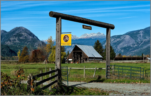
Pemberton (elevation 690 ft / population 3,400) is a ski town without ski lifts and groomed slopes. The mountains have not been scarred by ski runs. For winter recreation, Pemberton does offer cross-country skiing, backcountry skiing, and snowmobiling. The area's real personality is characterized by vast potato fields, farms tucked behind rows of cottonwood trees, and cattle cavorting in pastures.
Today's weather was coolish—high 40s F. My hotel room has terrific views of mountains, cedar forests, and aspen trees. Best sight of the day (sorry no pics) was a bear walking along the road in town with white stuff stuck to its fur—looked like the bear had been in a pillow fight.
-Click to Enlarge Map-
___________________________
Location: Pemberton Meadows.
Lillooet River Basin
Location Pemberton Meadows.
Lillooet River
Location Pemberton Meadows.
Location: D'Arcy (elevation 950 ft). Anderson Lake is eleven square miles in area and 13 miles in length. Its maximum depth is 705 feet.
Location: D'Arcy (population 35). Visitors to D'Arcy are greeted by a church turned into a place to post signs.
Fall Colors
Location: South of D'Arcy on Pemberton Portage Road.
__________________________________________________
COPYRIGHT
These photographs are the property of Leon Jackson and are protected by copyright laws. Photographs may not be downloaded or reproduced in any way without the written permission of Leon Jackson. © 2015 Leon Jackson. All Rights Reserved.
_____________________________________________________________


1 comment:
Poor bear!
Post a Comment