CANYONLANDS NATIONAL PARK
Day 2
December 25, 2017
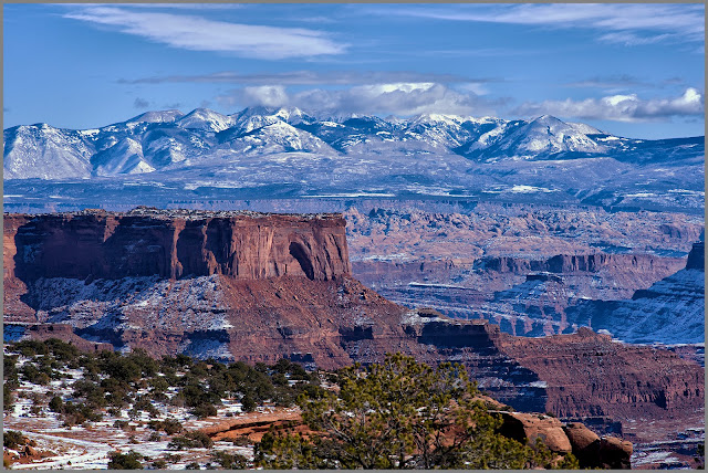
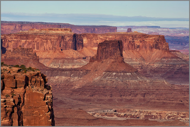
Canyonlands National Park is a colorful landscape eroded into numerous canyons, mesas, and buttes by the Colorado River, the Green River, and their respective tributaries.
-Click Map for Larger Image-
___________________________
PHOTOS
-Click Photos For Larger Images-
Butte and La Sal Mountain Vista
Location: Upheaval Dome Overlook Trail. The La Sal Mountains are part of the southern Rocky Mountains. The maximum elevation is at Mount Peale, reaching 12,721 feet above sea level. The name of the mountain range dates to Spanish times, when the Sierra La Sal (meaning the "Salt Mountains") was a prominent landmark on the Old Spanish Trail between Santa Fe and Los Angeles.
Rock Cairn & Pot Holes
Location: Upheaval Dome Overlook Trail. A rock cairn is a pile, mound, or stack of rocks. You’ll typically see them on hiking trails, where they’re used to mark the correct trekking route.
Mary and Frozen Potholes
Location: Upheaval Dome Overlook Trail.View From Orange Cliffs Overlook
Location: Dead Horse Point State Park, just outside the Canyonlands Park.
._____________________________
COPYRIGHT
These photographs are the property of Leon Jackson and are protected by copyright laws. Photographs may not be downloaded or reproduced in any way without the written permission of Leon Jackson. © 2017 Leon Jackson. All Rights Reserved.
_________________________________________


No comments:
Post a Comment